Terrain or not terrain!
In our work we usually must handle terrain data. For example, in a simulator we need to perform line of sight between players, we need to calculate the height of the terrain in specific spots, or calculate the path between two points using roads (like GPS navigator usually does).
So we usually we must needs at least some operations.
Import data
In order to use terrain data in our simulator, we need to import them in some way. There are many standard formats for defining terrain data, like shapefiles, DTEDs, OpenStreetMap and so on. This means that we need to find a way to handle all this terrain formats, and also that we need to convert and store them in a uniform way, so we can use a single format inside our simulators.
Use data
When we have the terrain loaded, we need to use them. For this we need algorithms that allow us to perform desired operations. We don''t want to re-invent the wheel every time, so we want, in order to save time and avoiding bugs, to use existing and widely tested code. If we can avoid to create r-trees and other algorithms, we simply do it!
Tessellate data
When we must handle terrain, we need to take care about the portion of terrain that we load. We are usually interested in loading only a little portion of terrain at time. I don''t want to load into memory all Italy elevation data if I need to calculate the height of the terrain in a specific GPS position. This allows us to speed-up calculations (we need to handle fewer objects), and to save memory (it''s not good to load maintain entire Europe elevation data at 1m resolution).
PostGIS
We are lucky, because there are already powerful tools for managing terrain. A very powerful tool is PostGIS. It''s a spatial database, based on PostgreSQL. In other words some talented people take a powerful database, and they written on it an extension for handling spatial data. PostGIS is a database extension, so it works with the SQL language. The extension allows to take many source data and import them inside a database. Then we can perform queries to this database in order to make operations of these data, for example by querying the elevation data along a path, or to calculate how to reach point B from point A by using roads.
For example we should be able to retrieve all data for a specific region with a query like this one:
SELECT *
FROM europe
WHERE state = ''Italy''
This select all data of Italy. Of course the query and the data retrieved may change depending to the database format and data that are imported.
QGIS
If you've ever used SQL, you''d should know that results cannot be always clear, specially if data are complex. For PostGIS, a query result can be something like:
| place | st_union |
| South | 010600002031BF0D001600 |
| Midwest | 010600002031BF0D000500 |
| West | 010600002031BF0D000700 |
| Northeast | 010600002031BF0D000800 |
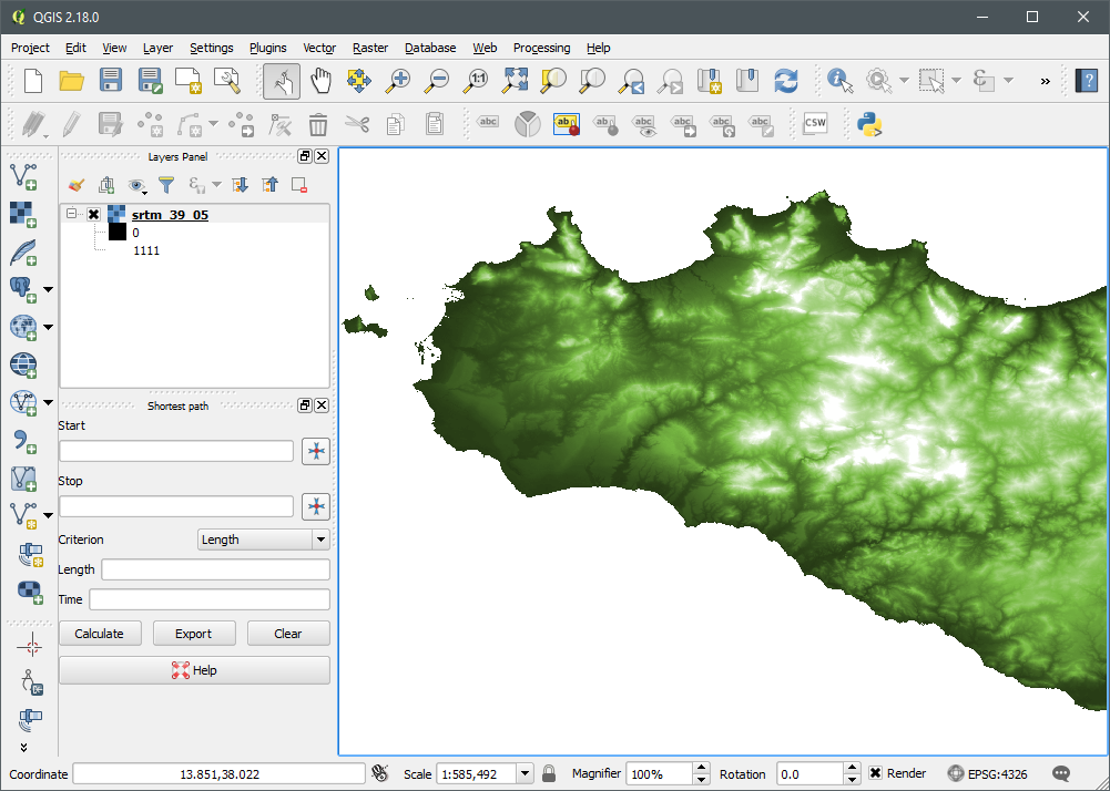
That's not very clear. So we need some instrument for viewing data of a PostGIS database. Here is where QGIS helps a lot. QGIS is a GIS program that allows us to show and elaborate spatial data. It allows to import many data in a project and elaborate them. It does not only import binary data, but it''s also capable to connect to a PostGIS database in order to work on its data. This is really helpful in many situations, because we can have a graphical view of what we have (it's not always clear, especially if other people create data to us and you don't trust them of you don''t know exactly what they''re giving to you).

Conclusions
In this introduction we've seen what are PostGIS and QGIS. In following articles we'll use them in various examples.


